Giuseppe Russo – Tagikistan
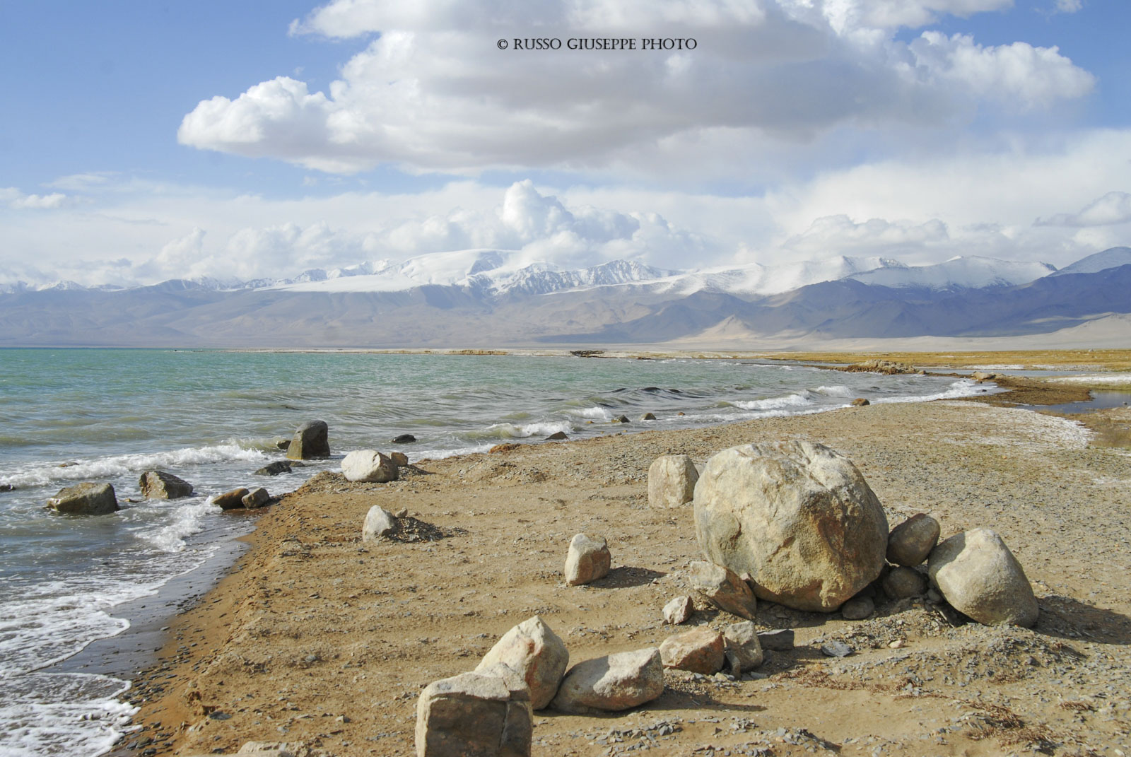
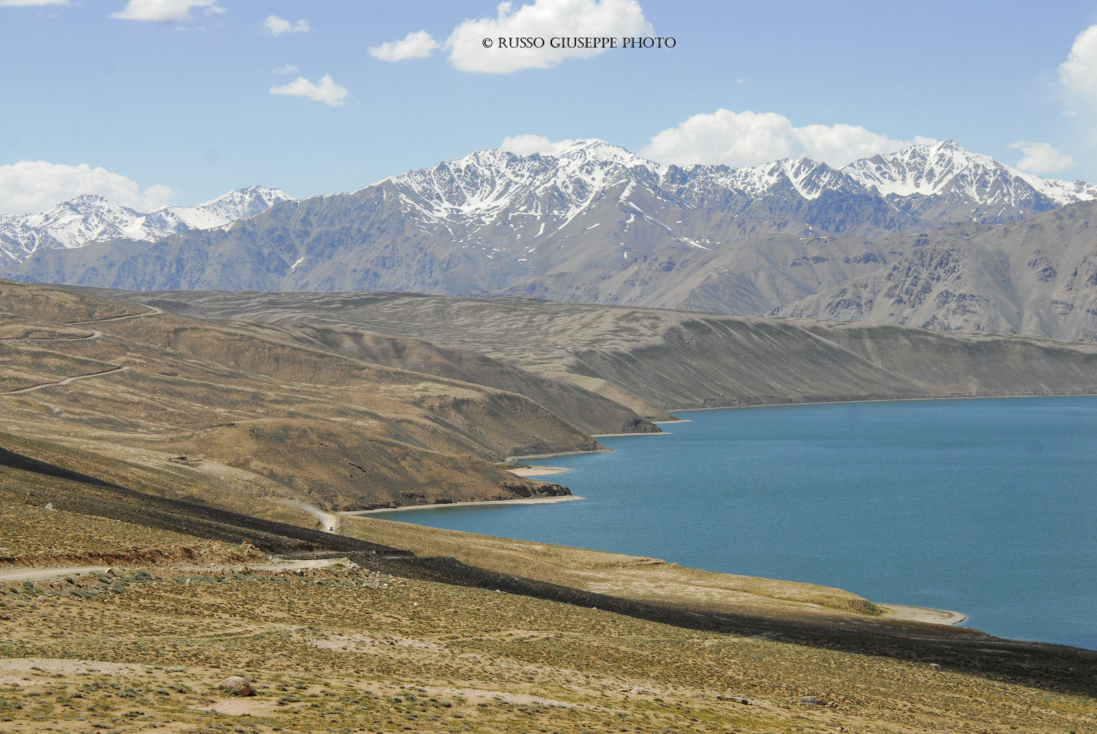
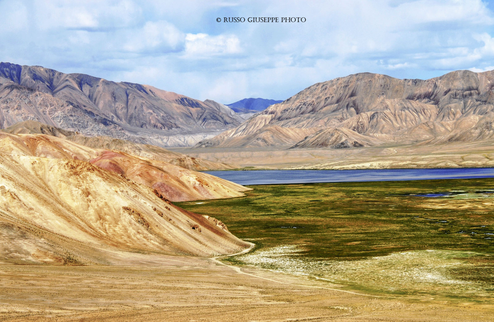
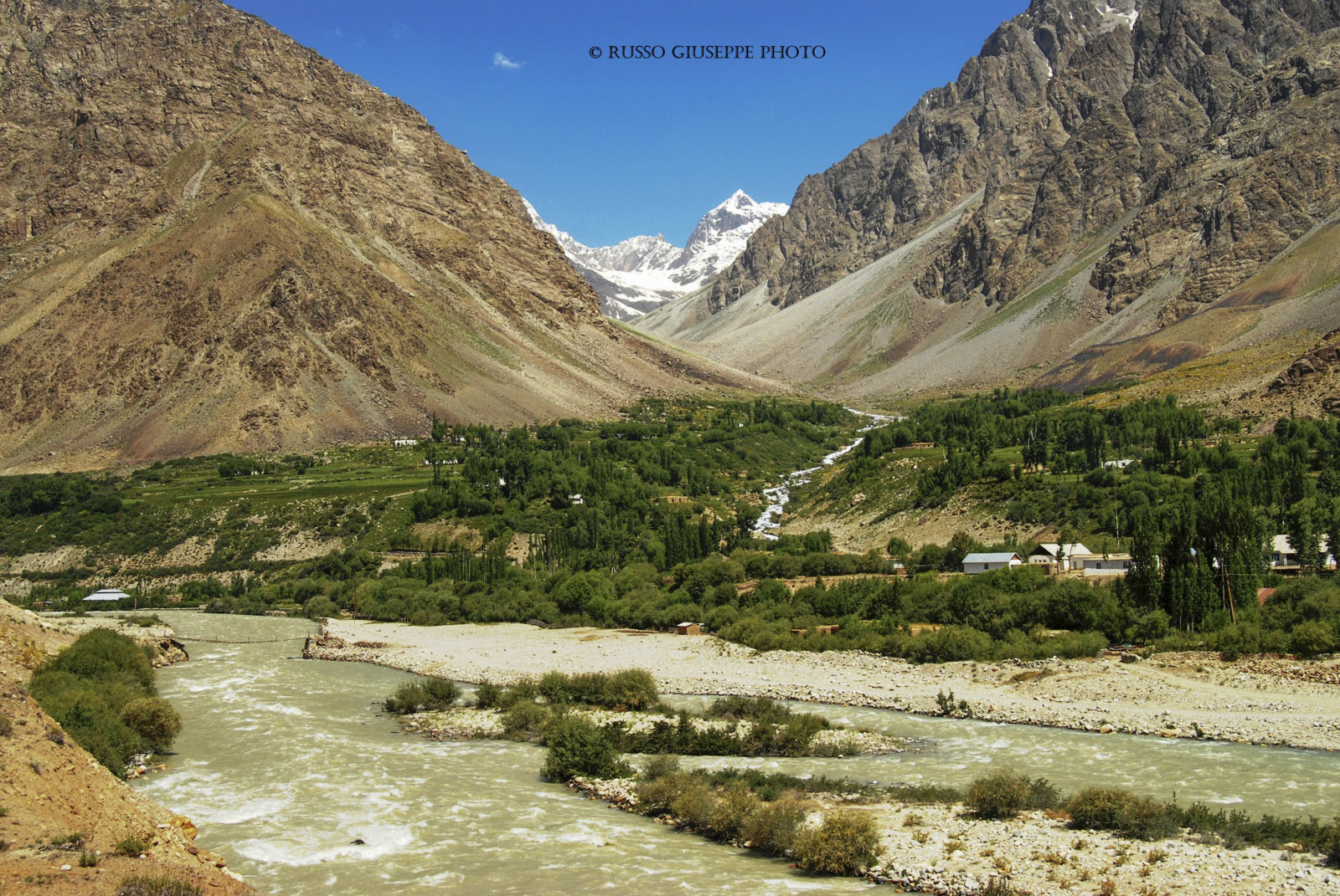
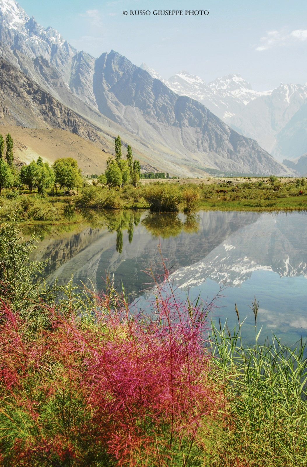
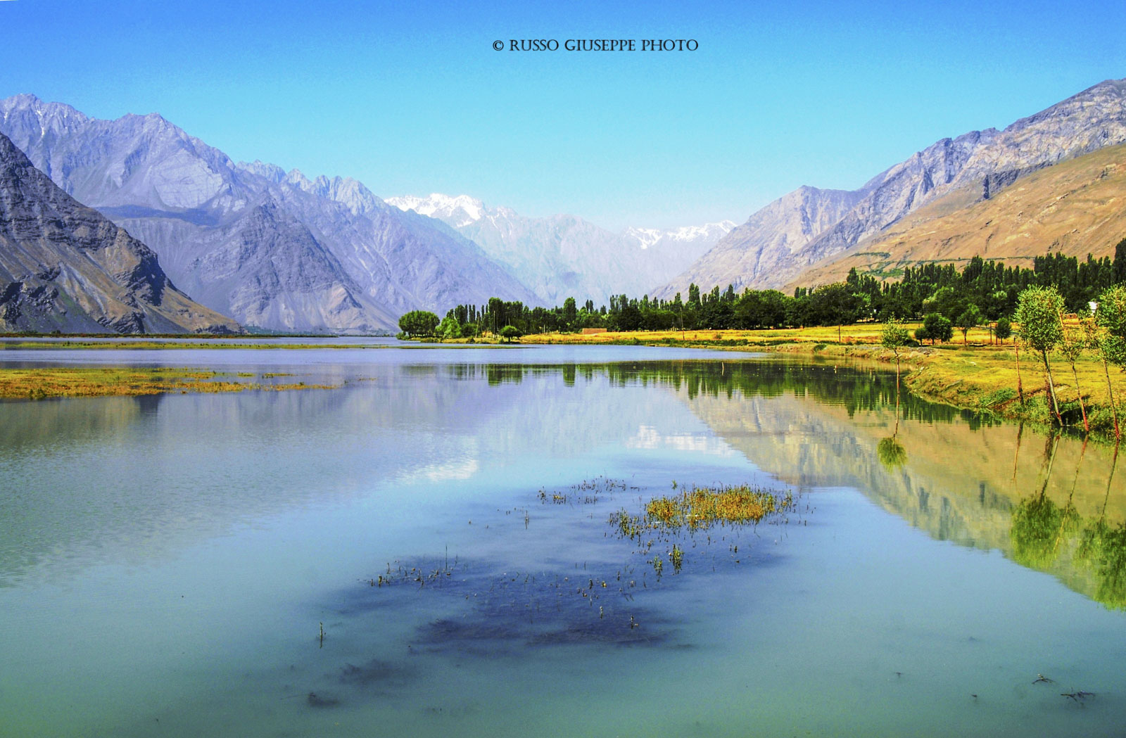
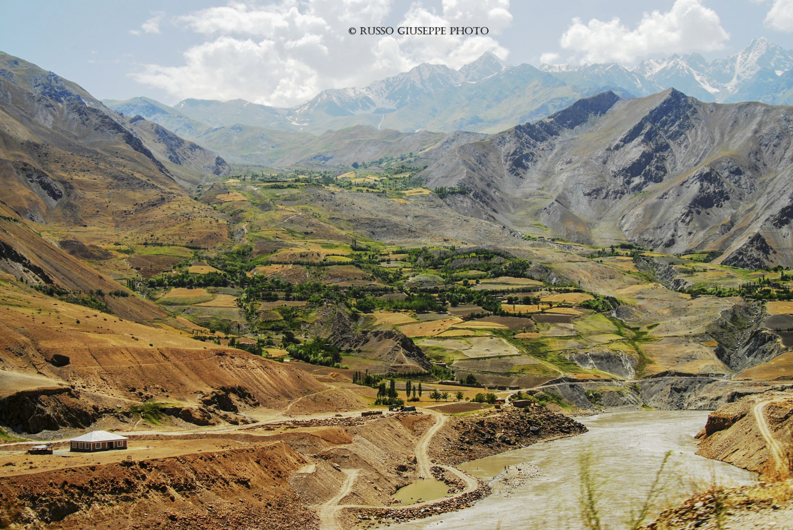
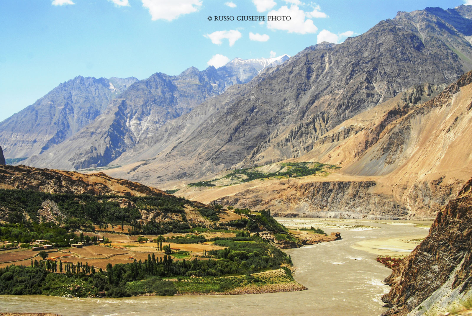
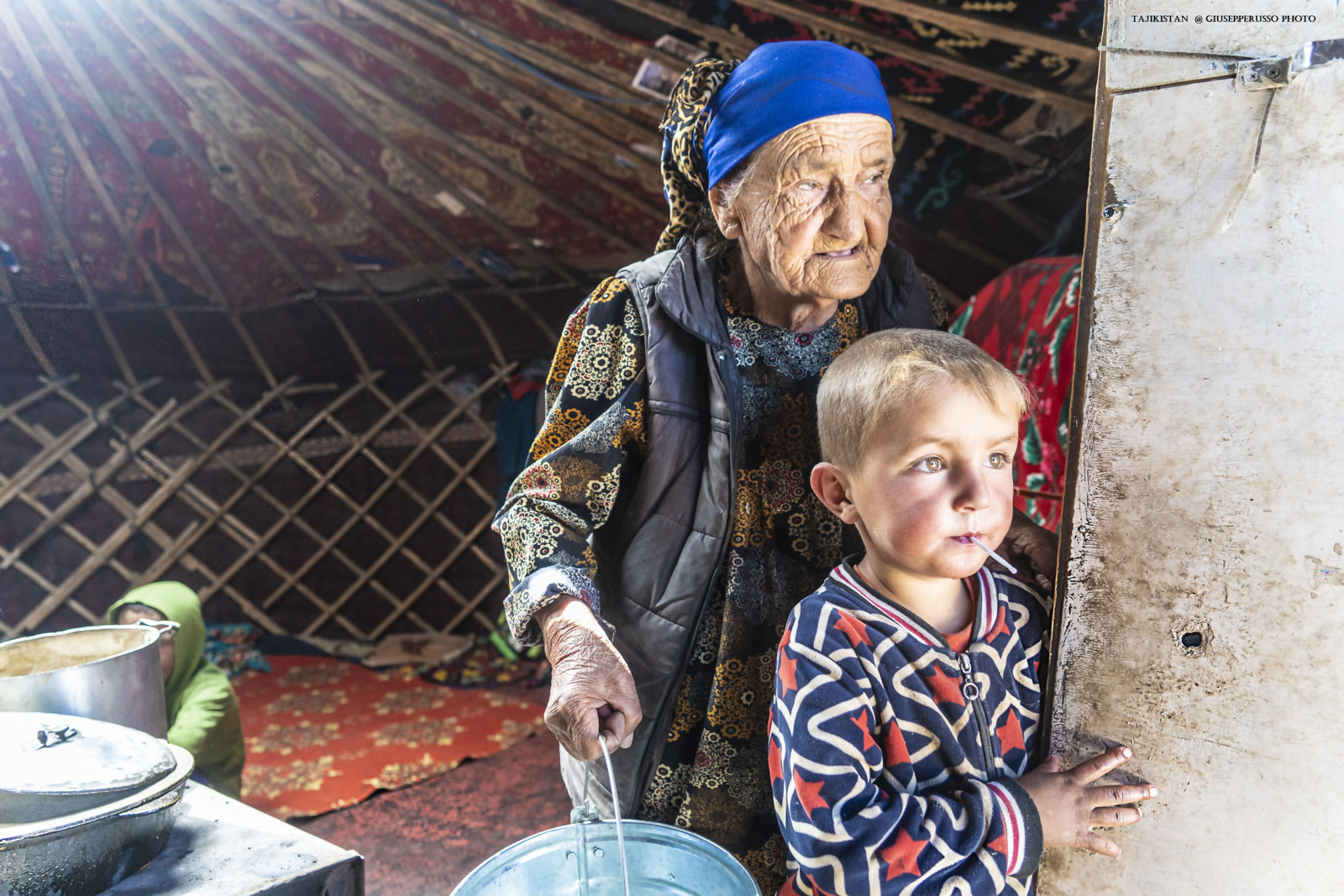
Of all the countries ending in the suffix Stan (country), the borders of Tajikistan (literally, “Land of the Tajiks”) remain among the most complicated and tortuous in the world. Drawn during the Soviet period, they are partly due to the inextricably complex need for ethnic divisions. Although Samarkand and Bukhara were once Samanid with common populations of Tajiks and Turks, following the historic 19th-century geopolitical rivalry between the British Empire and the Russian Empire for control of Central Asia, known as the Great Game, and subsequently the Anglo-Russian Treaty, the boundaries between Tajikistan, Afghanistan, and China were redrawn. Ultimately, the khanates of Samarkand, Bukhara, and Kokand were annexed by Uzbekistan, while the Khanate of Khujand (formerly Soviet Leninabad), along with part of the Fergana Valley, was annexed by Tajikistan, partly to ensure it had a sufficiently large state. Tajikistan is today the most original Central Asian country, considered the oldest in the region along the Silk Road, encompassing the Pamir Plateau, with altitudes between 3,000 and 4,000 meters, and bordered to the south by Afghanistan by the Amu Darya and Panj rivers, which flow into the Aral Sea basin. The Pamir region, Gorno-Badakhshan, and the journey along the legendary Pamir Highway—M41 (a Russian military road that overlooks neighboring Afghanistan like a balcony)—are Tajikistan’s pride and joy. Traveling from Dushambe to Osh, via Khorog, along the famous Pamir Highway is an experience characterized by breathtaking nature and high-altitude desert landscapes. The area is famous for its lofty peaks, such as Ismail Samani Peak (the country’s highest mountain at 7,495 meters) and the desolate and captivating high-altitude landscapes of Lake Karakul, located at over 4,000 meters. It is home to several glaciers beyond the poles, such as the Fedchenko Glacier. The region is dotted with yurt settlements of Kyrgyz nomads and offers a strong cultural and scenic impact.
Tagikistan
Tra tutti i paesi che terminano con il suffisso Stan (paese), i confini del Tagikistan (letteralmente Paese dei Tagiki) restano ancora oggi tra i più complicati e tortuosi al mondo. Delineati nel periodo sovietico sono in parte dovuti ad una necessità di suddivisioni etniche di complessità inestricabile. Benchè Samarcanda e Bukhara fossero in passato samanidi con popolazioni comuni di tagiki e turchi, in seguito alla storica rivalità geopolitica del XIX sec tra l’Impero Britannico e l’Impero Russo per il controllo dell’Asia Centrale, noto come Grande Gioco, e poi al trattato anglo-russo, le demarcazioni tra Tagikistan con l’Afghanistan e la Cina furono ridisegnate. In definitiva i khanati di Samarcanda, Bukhara e Kokand furono annessi all’Uzbekistan, mentre il khanato di Khujand (ex Leninabad sovietica), con una parte della valle di Fergana, fu annesso al Tagikistan anche per consentire che esso potesse avere una sufficiente superficie statale. Il Tagikistan è oggi il paese centroasiatico più originale, considerato il più antico della regione intorno alla Via della Seta, comprendendo anche l’altipiano del Pamir con altitudini tra 3000 e 4000 mt, e delimitato a sud dall’Afghanistan dai fiumi Amu Darya e Panj, che confluiscono nel bacino del lago d’Aral. La regione del Pamir, il Gorno Badakshan ed il percorso lungo la mitica Pamir Highway – M41 (strada militare Russa che si affaccia come un balcone sul limitrofo Afghanistan) – sono il fiore all’occhiello del Tagikistan. Viaggiare da Dushambe a Osh, passando per Khorog, lungo la celebre Pamir Highway è un’esperienza caratterizzata da una natura strepitosa con paesaggi desertici d’alta quota. La zona è famosa per vette elevate come il picco Ismail Samani (la montagna più alta del Paese con 7 495 mt) e i paesaggi desolati e affascinanti d’alta quota del lago Karakul, situato a oltre 4000 mt di quota. Al suo interno ospita più ghiacciai al di fuori dei poli, come il ghiacciaio Fedčenko. La regione è punteggiata da insediamenti di yurte di nomadi kirghisi e offre una forte impronta culturale e paesaggistica.